
News


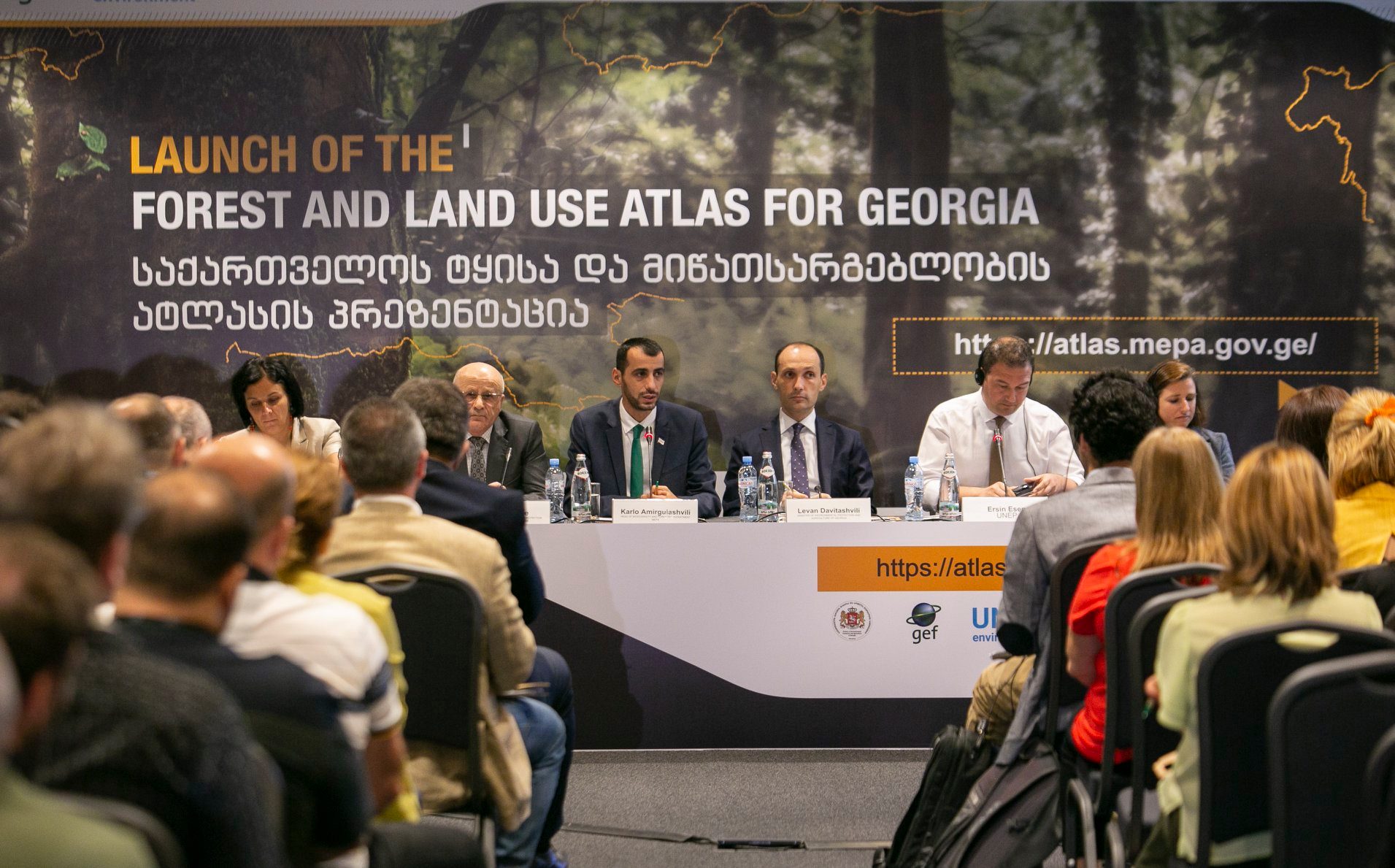
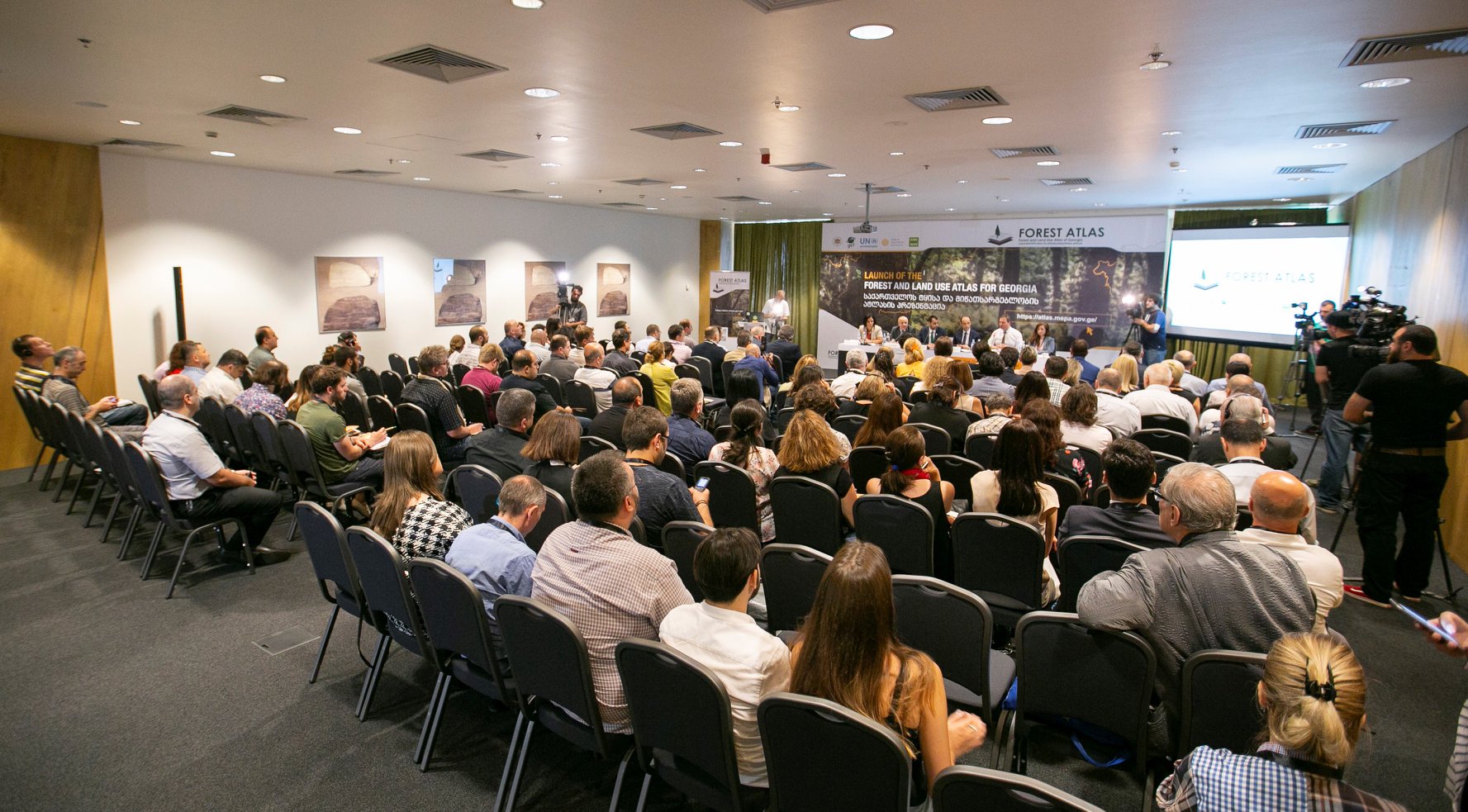
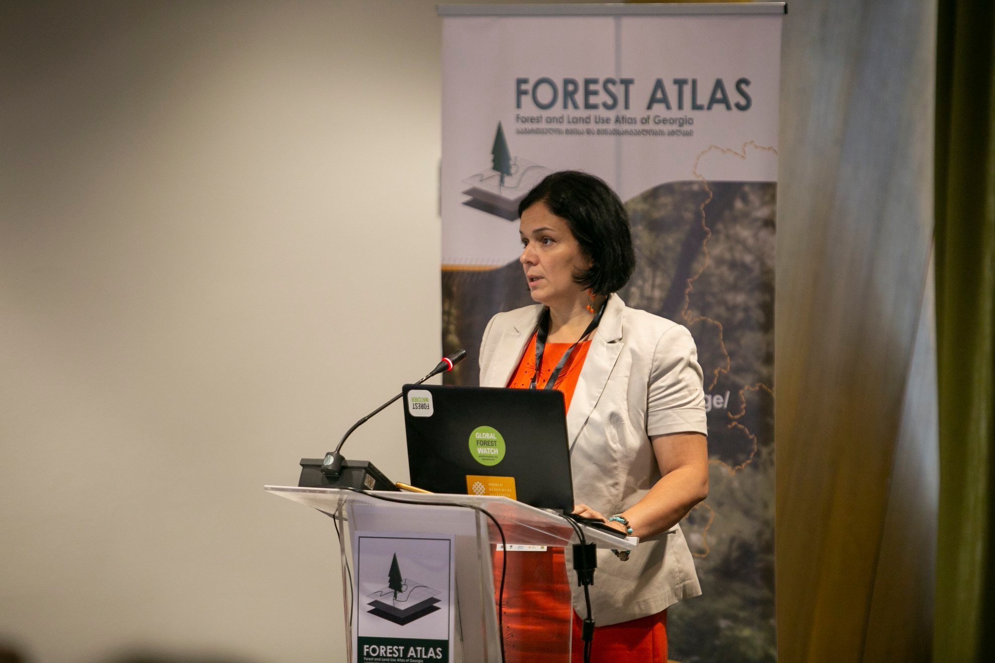
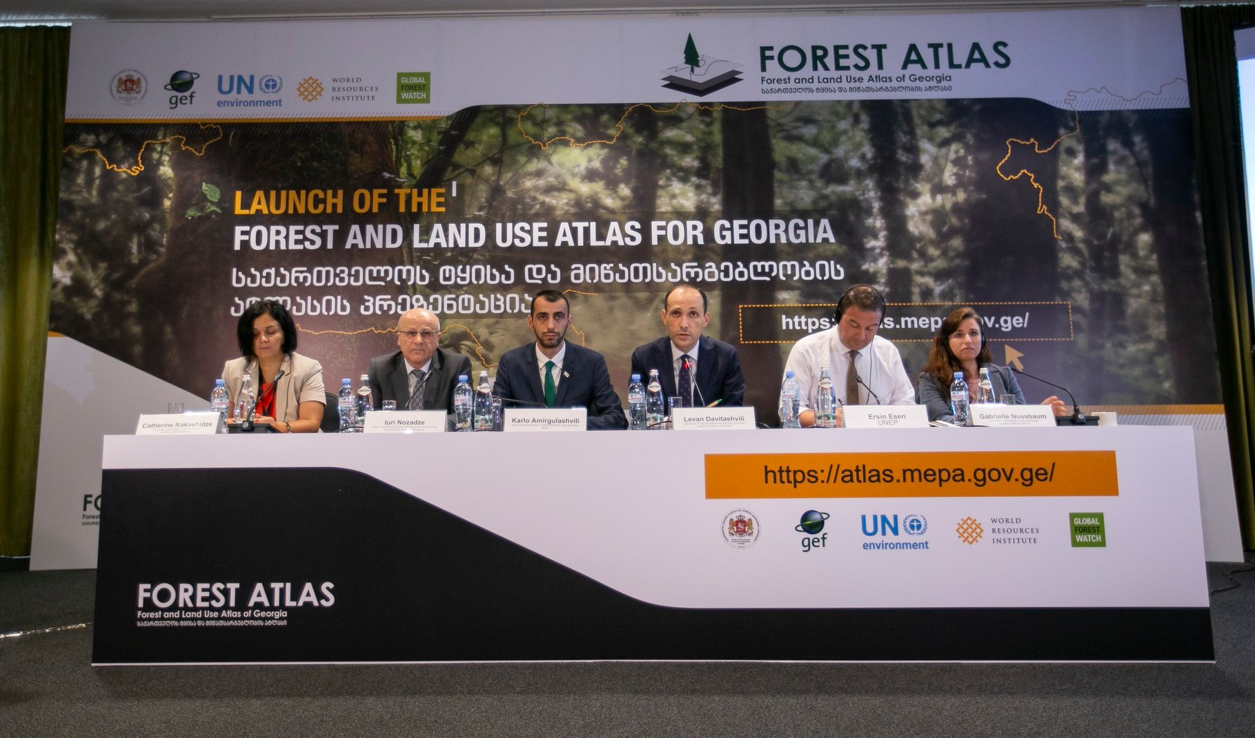
Presentation of new forest and land use atlas
Georgia has developed a new forest and land use atlas in cooperation between the Ministry of Environmental Protection and Agriculture of Georgia and the project "Global Forest Watch".
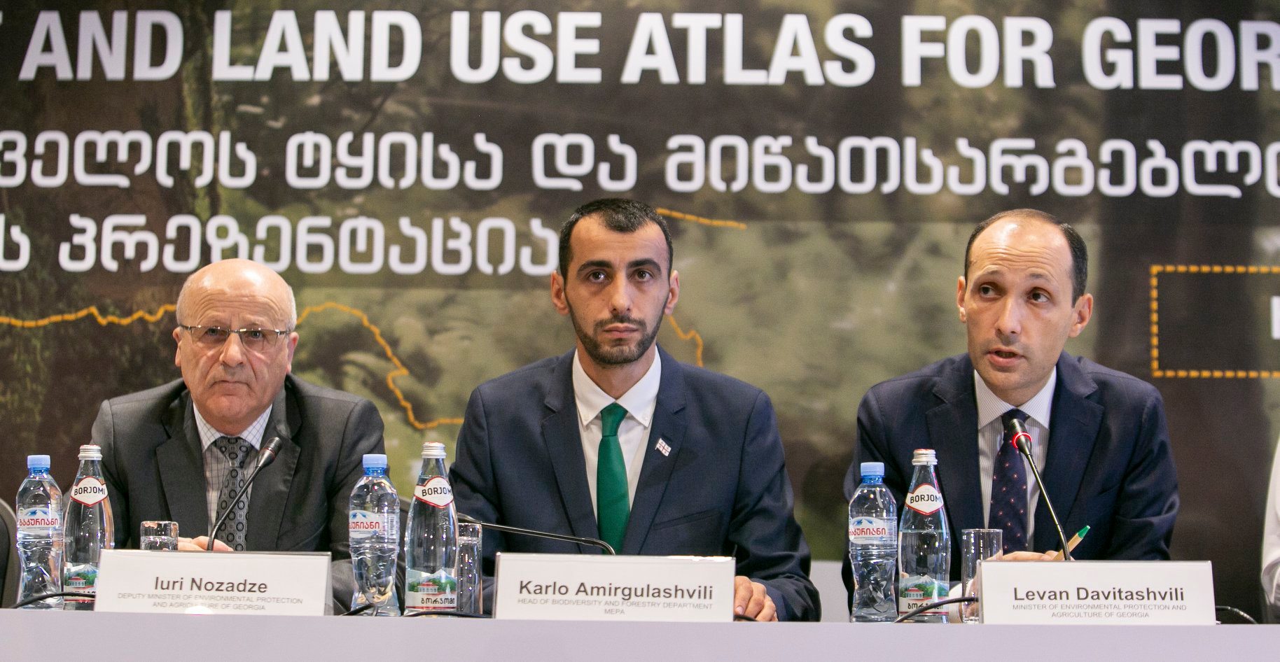
New forest and land use atlas is an online platform providing access to transparent and precise data on forest and land use, which was created with the financial support of the Global Environmental Fund (GEF) and UN Environment Program (UNEP). During a presentation of the map today, Georgian Minister of Environmental Protection and Agriculture, Levan Davitashvili noted, that atlas makes information on environmental protection more available than it was earlier.
"The information and data included in the Atlas will be constantly updated. Therefore, Atlas will enable us to monitor and analyze forest and land use in the country. Any interested person will be free to observe forest conditions across Georgia .
Georgian government has a new strategic approach in the protection and management of forests. New Forest Code was developed, which is under review and examined by the Parliament. In autumn, a new legislative base will address the sustainable forest management and protection of forest resources in the country " said Levan Davitashvili.
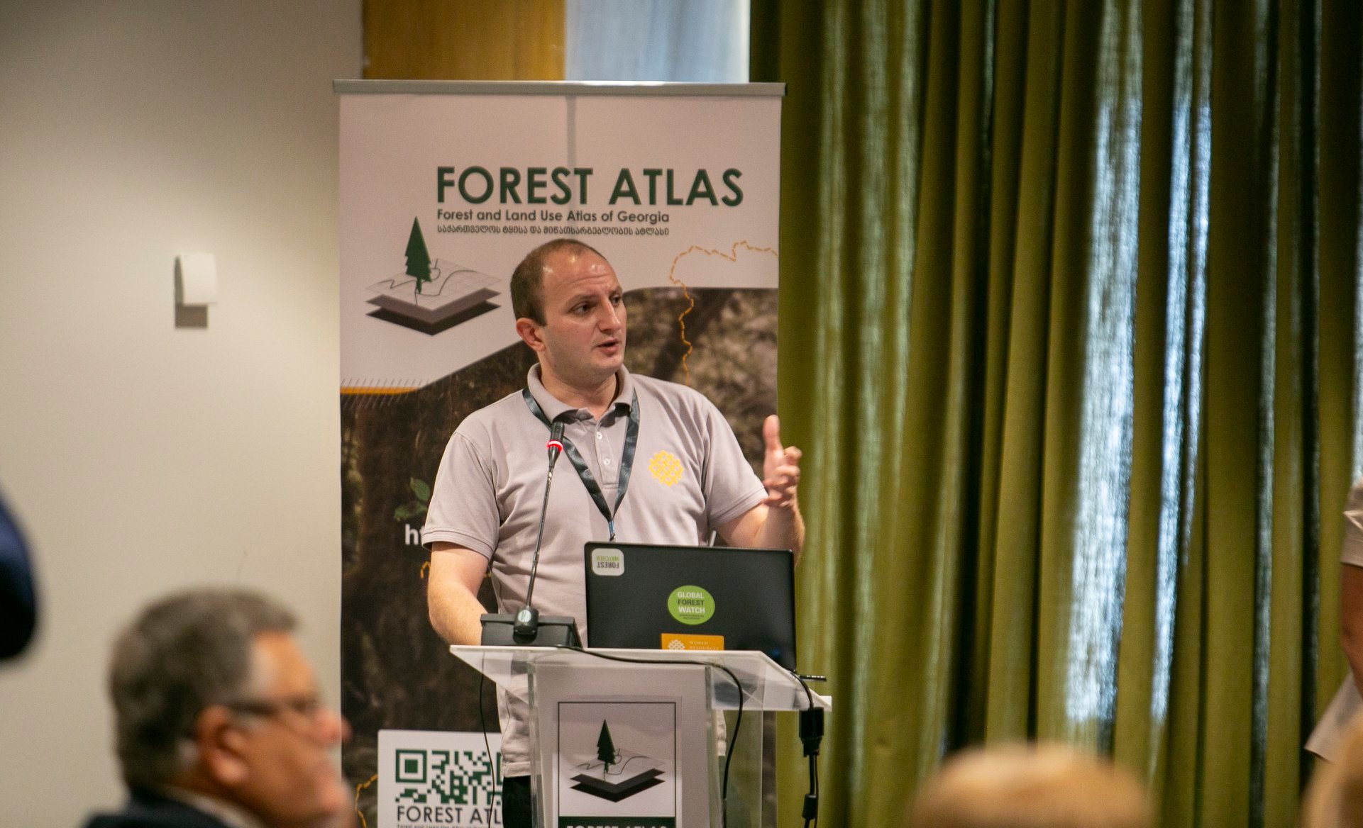
Forest and land use Atlas is an online monitoring platform that provides an information to the interested parties about forest management, forest cover, forest fires, timber and mining licenses, geological risks, landslides, protected areas, tourist trails etc.
The online platform includes processed data and analytical tools tailored to the needs of governmental agencies , partner, local and international NGOs and other target groups.
The Atlas administered by the Ministry of Environmental Protection and Agriculture of Georgia with the support of the World Resources Institute ( https://www.wri.org/ ).